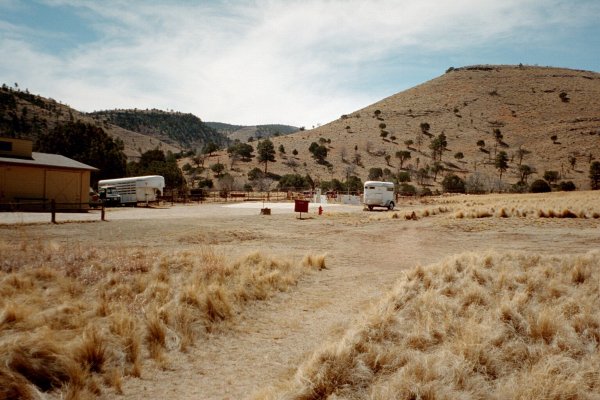
There's a corral by the Dog Canyon trailhead for people who bring their own horses.
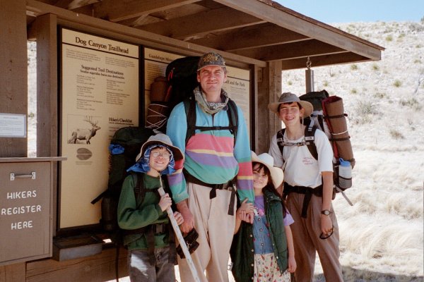
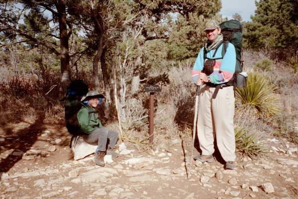
We just weighed our packs as we start out. Paul - 20 lbs; Pat IV - 49 lbs; Pat III - 60 lbs. Why is he grimacing instead of smiling like everyone else? The packs are so heavy because there's no water in the high country, so we must carry enough to last 2 days in the dry climate.
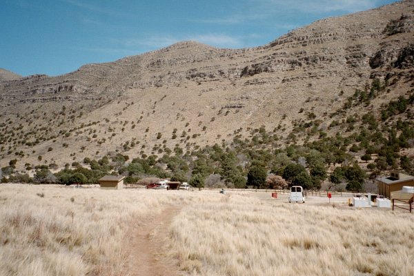
A look back at the Dog Canyon campground and trailhead. It's a very remote place and looks like it would be a very nice place to camp.
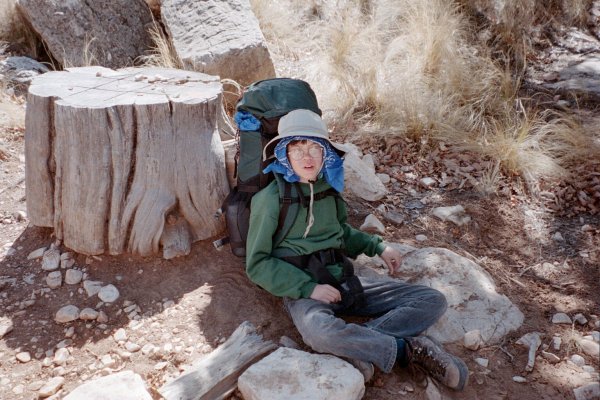
Somebody conveniently carved a Tic-Tac-Toe board on the top of this old stump. Unfortunately Paul beat his daddy in the Tic-Tac-Toe game they played.
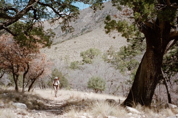
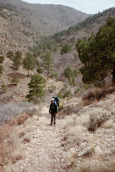
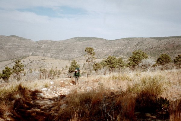
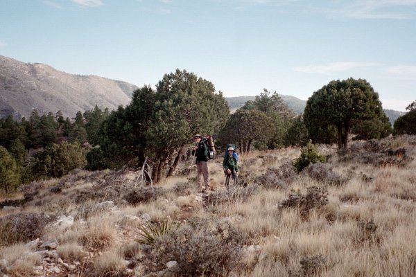
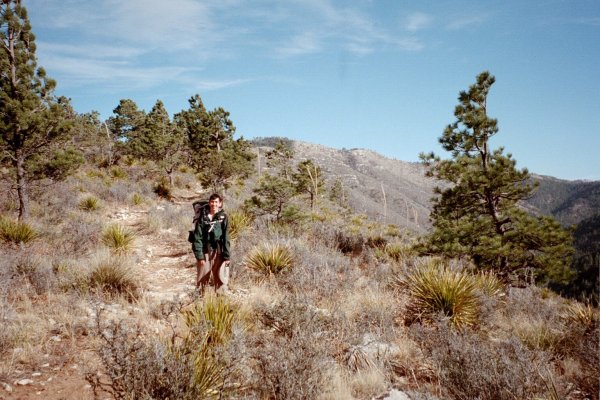
Pat IV hiking up Dog Canyon.
"Are we there yet?" "No, we've just barely started."
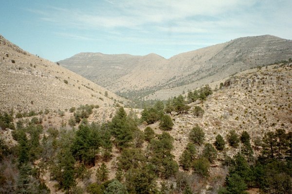
One last look back at the Dog Canyon campground in the distance. Goodbye, "civilization".
The wind up here was incredible. It blew constantly, at 30-35 mph, gusting to 40 or 45. Fortunately, the temperature was in the mid-70's, because the wind made even a temperature that high seem chilly.
Mule deer
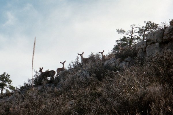
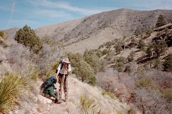
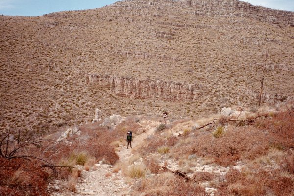
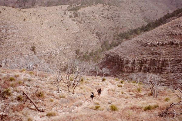
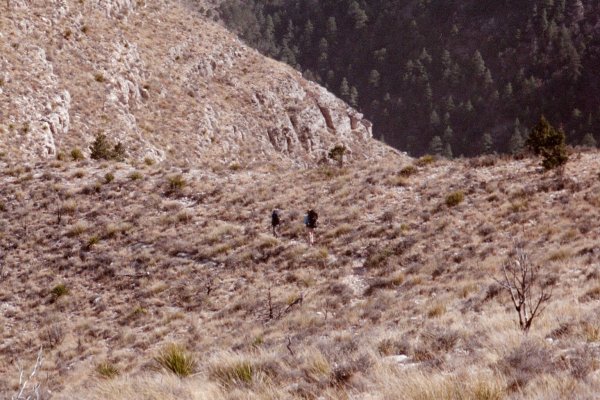
"What was that noise we just heard? People? Up here?!?"
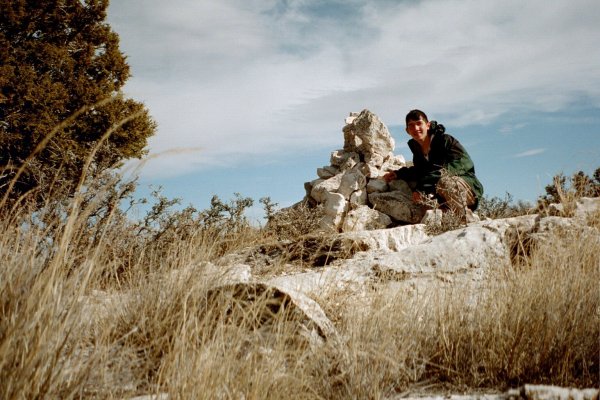
Pat IV takes a self-portrait by the cairn on the summit of Lost Peak.
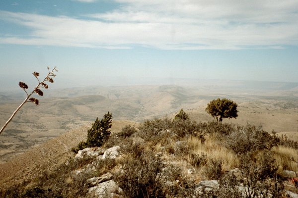
The view from the summit of Lost Peak
Crossing the saddle just below the summit of Lost Peak. The wind here was likely blowing 40-45 mph! Several times along the way gusts actually made us stumble for balance as the wind bowled us over.
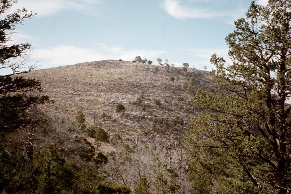
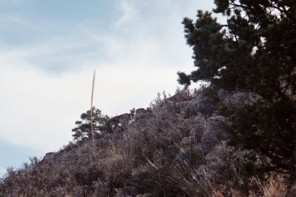
Lost Peak
Junction of the Tejas and McKittrick Ridge Trails.
This is the McKittrick Ridge Trail. We didn't go that way, however.